
HURRICANE IRMA TO POTENTIALLY STRIKE
USA OR CARIBBEAN?

Posted 9-2-17
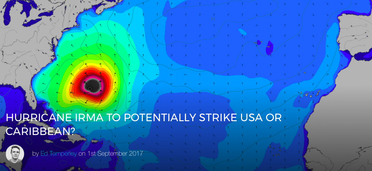
Hot on the heels of Harvey, a second major system, Hurricane Irma, is causing something of a headache out in the Mid-Atlantic given its southerly position and uncertain forecast track. You can keep an eye on the storm here.
Irma intensified to a Category 3 system on Thursday and is forecast to hit Category 4 status (sustained winds of 130-156 mph or 209-251 km/h) somewhere east of the Leeward Islands early next week. Following a period of rapid intensification, the system is currently moving through a cooler area of ocean, which will limit further development and promote some weakening. Thereafter, Irma is expected to move into a more favourable thermodynamic environment while remaining in low wind shear conditions, which should allow the hurricane to intensify further.
Hurricanes need water above 26°C to gain strength – think of them as an engine driven by heat, one which is potentially incredibly destructive but also fragile. Too much wind shear, not enough moist air, or too much interaction with land and the storm will weaken. And it is this opposite combination of warm water and low wind shear which could fuel further intensification early next week.

So far so good in terms of what we know, however long range hurricane tracks and intensity are notoriously difficult to predict, and the current scenarios for Irma range from a pass into the Caribbean, through to a king-hit of the Outer Banks or New York. There are two clusters of model agreement in terms of long term direction for this system with the ECMWF and HWRF models calling for southerly track at about 5 days out, whilst the UKMET, GFS, CTC and HMON favouring movement to the north.
We’ll keep an eye on this doubled-edged system which could potentially impact the Caribbean, or provide perfect surf to parts of islands like Barbados before skirting north of the Leeward Islands and hitting mainland USA. For surfers a best case scenario for Irma would be to emulate Hurricane Bill as a surf producer – if she peels north and hits a high level westerly flow. Unfortunately this latter scenario, whilst ideal for East Coast surfers and fans of hurricane swells, is currently an edge case.
*Any images or vids you have from Hurricane Irma please upload to the site here or email in to [email protected]
![]()
MSW editor. Instagram @edtemperley

(C) Towsurfer.com 2017
More From Towsurfer
 Keala Kennelly’s Thank You Letter for the ‘F*ck You Billabong…’ Hysteria
 Swell Forecast for Chile and Peru by Chris Owens / May 27, 2017
 Hurricane Max Is Riding The Heels Of Mexico’s Recent 8.1 Earthquake
 “I’m never content with normal”- Andrew Cotton
 The Eddie (Probably) Won’t Go, Again
 KILLER WHALES ARE KILLING GREAT WHITES OFF CAPE TOWN